zannLanguage Learning Suite
Map
Navigation Aid
Maps are tools to help you find directions and navigate to various places.
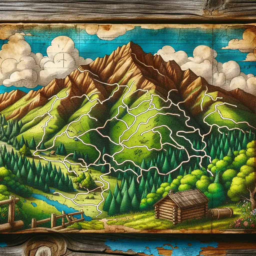
The hiking map showed all the trails and cabins.
Scale Representation
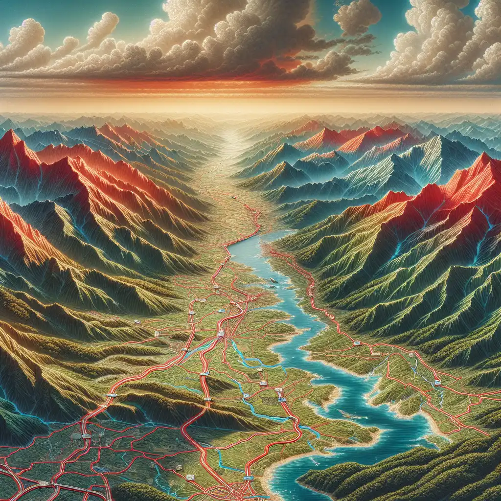
Maps are drawn to a specific scale, representing the real-world distance.

On this map, one centimeter equals 10 kilometers.
Symbol Usage
Maps use symbols like lines and colors to represent different things, like roads or rivers.
Red lines on the map indicate highways.
Compare with
AtlasBlueprintCartographyChartDiagramGlobeGraphPlan

Never forget "Map"
Humans forget easily. That's why you should download WordUp: Smart reminders, word games, AI practice, and much more!


WordUp Chrome Extension
As you browse the web instantly look up words you don’t know.
Get Chrome Extension